Overview
The EMIT mission will image the mineral content of dust producing regions of the Earth. As part of this effort, it will collect unprecedented coverage of visible to shortwave infrared (VSWIR) radiance and reflectance data and use them to produce estimates of the fraction of the surface covered by green vegetation, non-photosynthesizing vegetation, and ten important minerals over arid regions of the planet. These data products, hosted on the LP DAAC, will allow for investigations beyond the EMIT mission science objectives which will inform decision makers across a wide range of potential application areas for the benefit of society. NASA’s Applied Sciences Program, the EMIT project team, and collaborators are working together to further the applications potential of these groundbreaking data. We are committed to NASA’s Open Source Science Initiative and will be providing research grade data products to the public, in addition to its science deliverables, as they become available.
Potential Applications Areas
Natural Hazards
Environmental pollution
From oil spills, to ocean plastics, to acid mine drainage, environmental pollution and damage can impact societies and ecosystems across the globe. Spectrometers like EMIT have been used to map oil extent from the deep water horizon spill in the Gulf of Mexico, plastics in the environment, and to accelerate clean up of an acid mine superfund site in Leadville, CO. As EMIT acquires data across the globe, there is great potential to use them to assist with environmental clean up in response to disasters such as oil spills and remediation efforts to clean up historic mine sites.
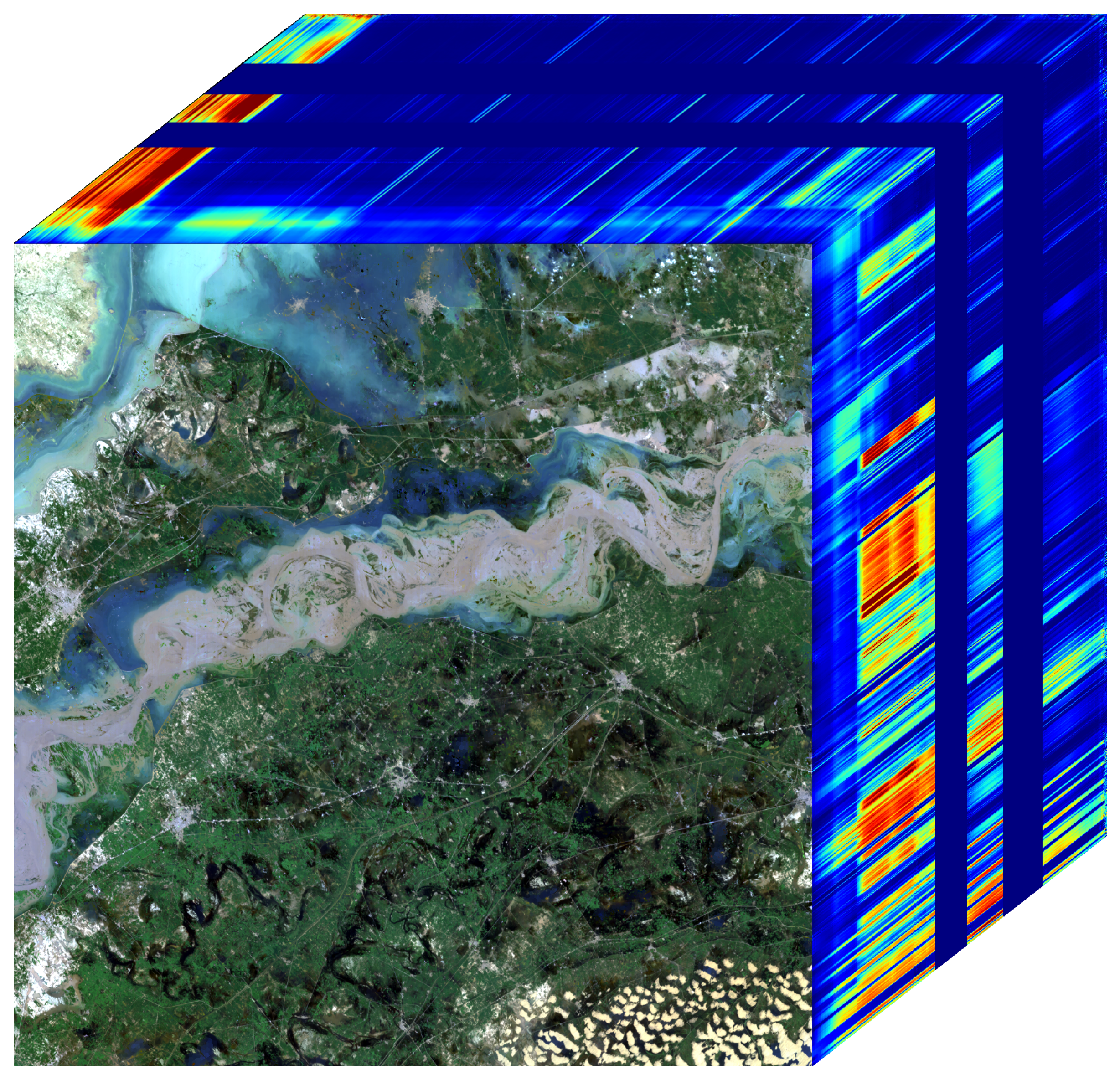
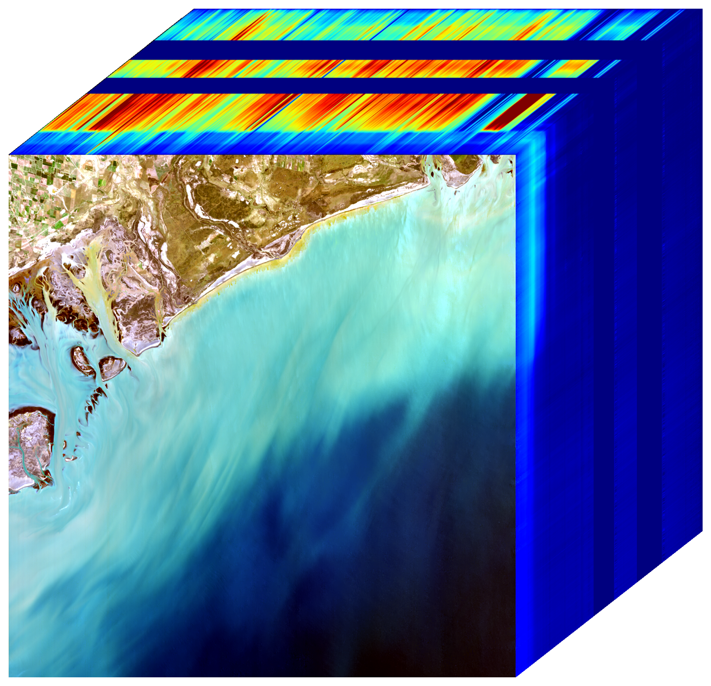
Coastal waters and harmful algal blooms
Agricultural monitoring
Crop health and agricultural production is essential to maintaining human health and societies. EMIT will collect data over many of the world's agricultural regions. Depending on the season and crop management, these data can provide information on crop types, vegetation health and disease, crop residue composition, and soil mineralogy.
Forest management & fire
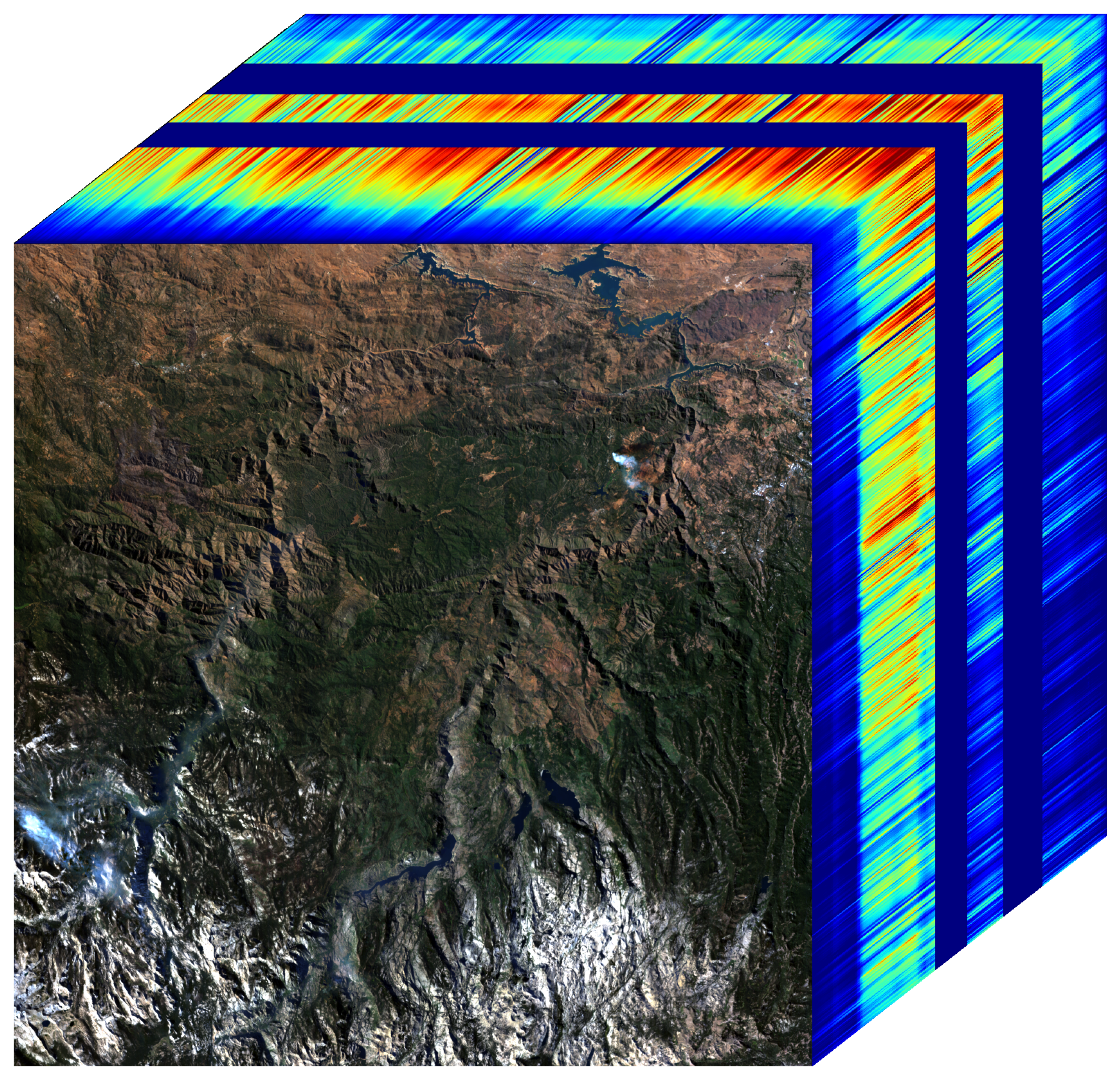
Vegetation community and biodiversity monitoring
Understanding the locations, distributions, and diversity of vegetation communities helps to promote good management and conservation efforts. EMIT data provide an opportunity to establish baseline maps of vegetation communities around the globe to help monitor ecosystem health, biodiversity loss, and conservation efforts. These maps could also be used to map the habitat of disease vectors, such as mosquitoes, to assist public health efforts to contain vector borne diseases.