NEWS | July 29, 2020
The Salton Sea region: a test case for EMIT science

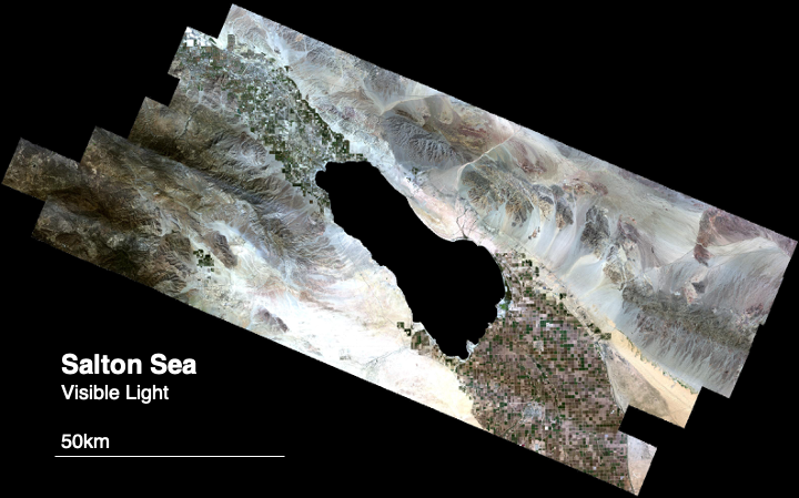
In preparation for launch, the EMIT team is testing their approach using measurements of the Salton Sea, a dust forming region in Southern California. This image shows a mosaic of images by an airborne instrument, NASA’s Classic Airborne Visible Infrared Imaging Spectrometer (AVIRIS), which is similar to the data expected from EMIT. The data contain hundreds of channels for each location in the scene, but only the visible red, green, and blue channels are shown.
